Panama Canal Full Transit Aboard Azamara Journey 2016

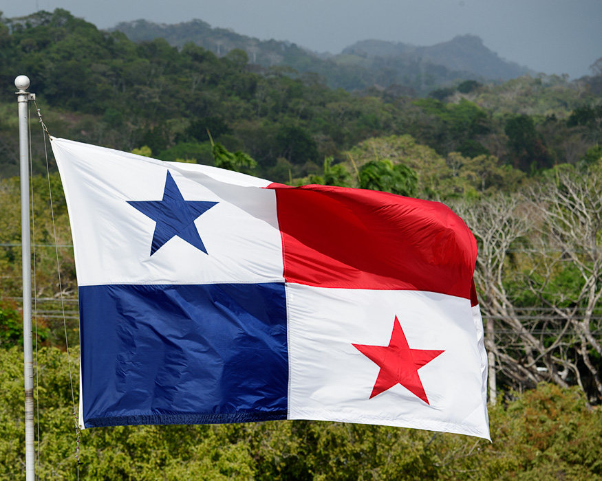
On February 12th 2016 we did a full transit of the original Panama Canal aboard the Azamara Journey from the Caribbean to the Pacific. The 50 mile canal allows ships to pass through Panama at its narrowest point from the Caribbean side (Colon) to the Pacific side (Panama City). Built by the United States from 1903 until 1914, when it was officially opened. An engineering marvel at the time, it is still operational around the clock allowing goods and troops to be transported around from the East to West and back without the need to travel all the way around South America. It was after the destruction of the battleship Maine in Cuba, that the Americans decided a canal must be built and President Teddy Roosevelt made it happen! The United States protected and managed the canal in a 5 mile wide canal zone for most of the 20th century. President Jimmy Carter officially turned the Panama Canal back over to the Panamanians in 1999. Today the Panamanian flag flies proudly over the canal zone, and most of the land has been converted into National Parks.
Today passenger ships pay a high price to transit the canal purely for the pleasure of passengers being able see the workings of the canal up close! We were thrilled to do this complete transit. If you are interested in seeing the canal, there are several ways to do that, which I've summarized here.
“Full Transit: A cruise ship that travels from one side of the canal to the other, from Pacific to Caribbean or the reverse.
Partial Transit: Some cruise ships travel through one set of locks (usually the Gatun Locks on the Caribbean side) and then turn around in the Gatun Lake, returns through the same locks back to the Caribbean.
Day Cruises: Local companies in Panama offer Full or Partial transits on small tour boats with dozens of people on board. You can travel to Panama and book a day tour to do either for a lot less than a cruise ship trip.
View from land: There are 3 visitors centers that for a small entrance fee allow visitors to see the ships transiting the canal from the shore. These Visitors centers usually offer interpretive films, exhibits and large covered platforms to watch ships coming through the canal. (the Gatun Visitors Center on the Caribbean side, the Miraflores Visitor Center on the Pacific side, and the new Canal Expansion Observation Center on the Caribbean side, which IS open even as the canal expansion is still under Construction.”
Click on title for link, click on photos to expand
Gatun Visitors Center Canal Expansion Observation Center Miraflores Visitor Center


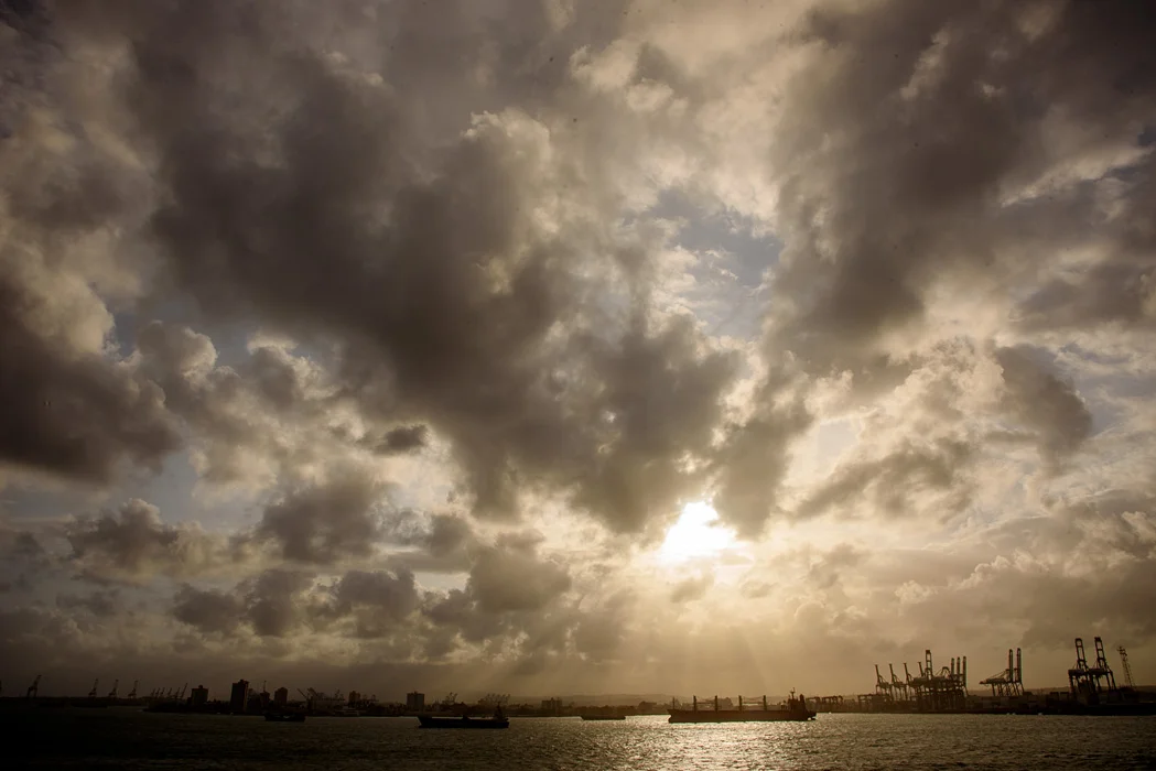
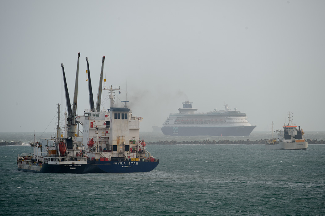
Our transit day started anchored just outside of the canal entrance awaiting our turn to transit. As passenger ship, we were told prices are high to get a prime daylight transiting time frame. At sunset the night before our transit we saw many ships anchoring or preapring for a night transit. The Panama Canal is open 24 hours a day.

At dawn, as we prepared to start our transit,we saw lots of large cargo ships waiting for their turn.
The gateway city to the Panama Canal on the Caribbean side is Colon. We had an opportunity to visit Colon the day following our transit. It is a place in transition, with the country of Panama trying to invest in redevelopment of the Colonial era city as a cruise ship port for canal tourism. For us it was a place best visited with our professional guide driving us through during the day. We are hopeful that Panama can create the cruise port they envision.

A drive through Colon where were able to see a city in transition.
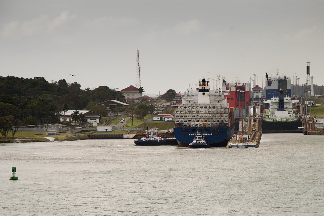
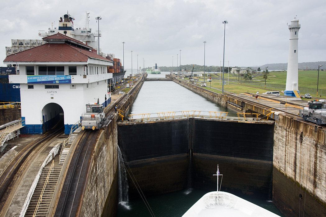
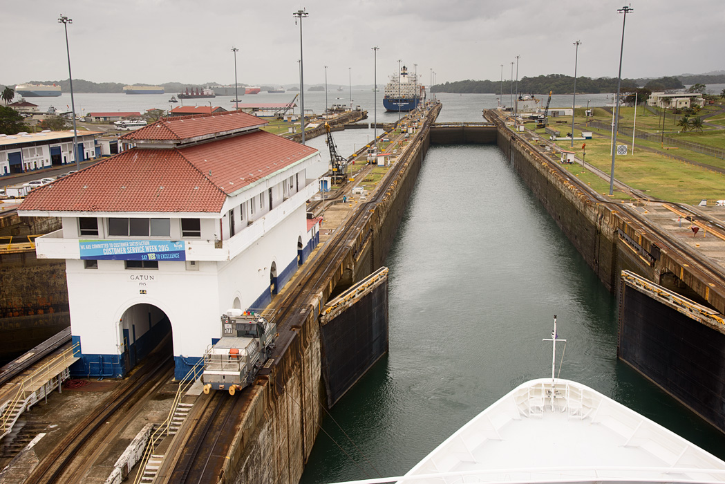
We made our way to the exterior decks and had our first glimpse of the Gatun Locks. I've posted Jeff's photos of the transit through the Gatun locks and I've included a few very short videos.

The engines built to control the ships movement in the canal (and prevent bumping against the wall) are called "mules", which is what were used originally.

Canal workers gather lines from the ship and connect the ship with a cable to the mules.

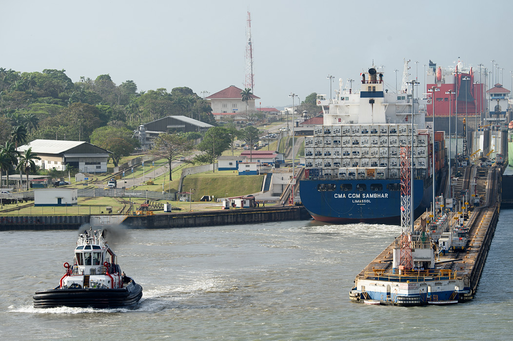
Tugs help position the ships in the canal. When a ship needs to "hold it's position" for another smaller vessel to pass (often small vessels share a lock with medium sized larger vessels)

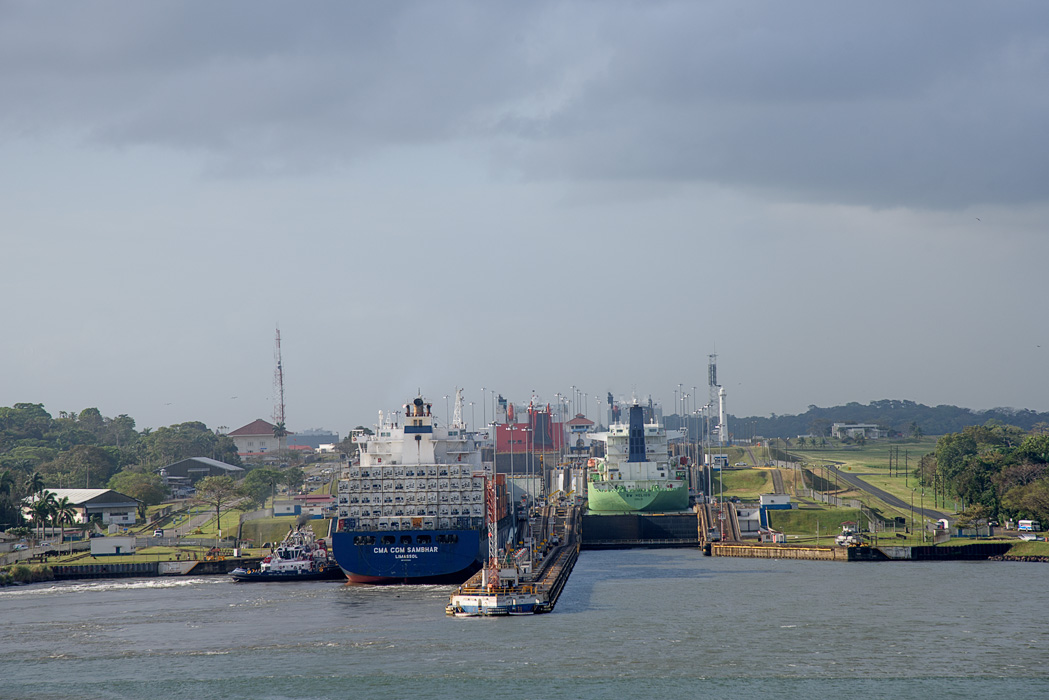
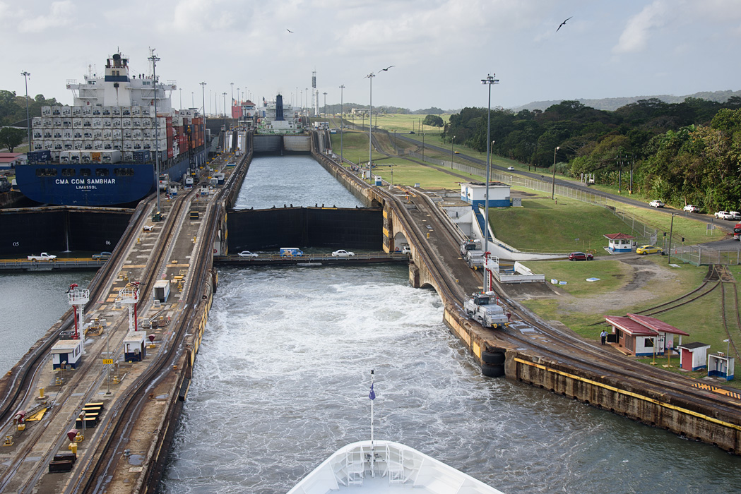
We made our way through the first of three locks...scroll through the photos below to see our transit.
Captain Johannes Tysse (white hat) of the Azamara Journey oversees the transit from the fly bridge.

The locks employed mitred door locks which use the water pressure from the other side to keep them closed until the water levels equilibrate and the doors can be opened, allowing the ship to pass to higher ground.

Finally we passed through the three Gatun Lake locks and were moved into Gatun Lake. Gatun Lake is man made, by damming the Chargres River. Fresh lake water is lost into the ocean each time the locks open and close. The new expansion locks will address some of this fresh water loss by recycling 2/3 of the water used.
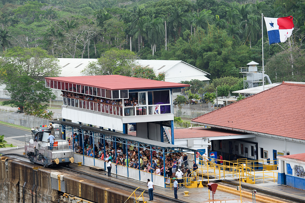
At the very last Gatun Lock, there is an older Observation Visitors Center where we encountered lots of cheering spectators.
Just for fun, I took a time lapse video of us clearing the last lock and entering Gatun Lake-it's a little "blue" because I shot it through a windshield on the ship.
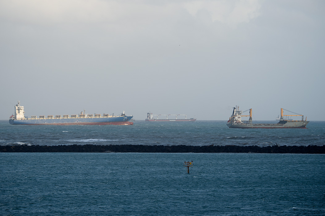
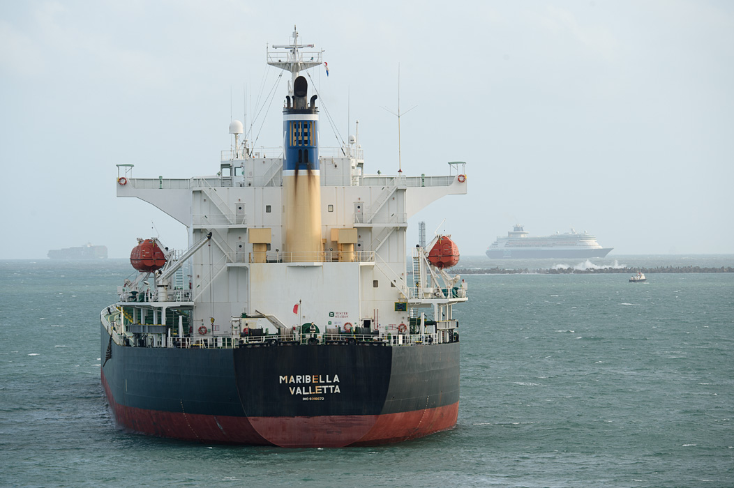
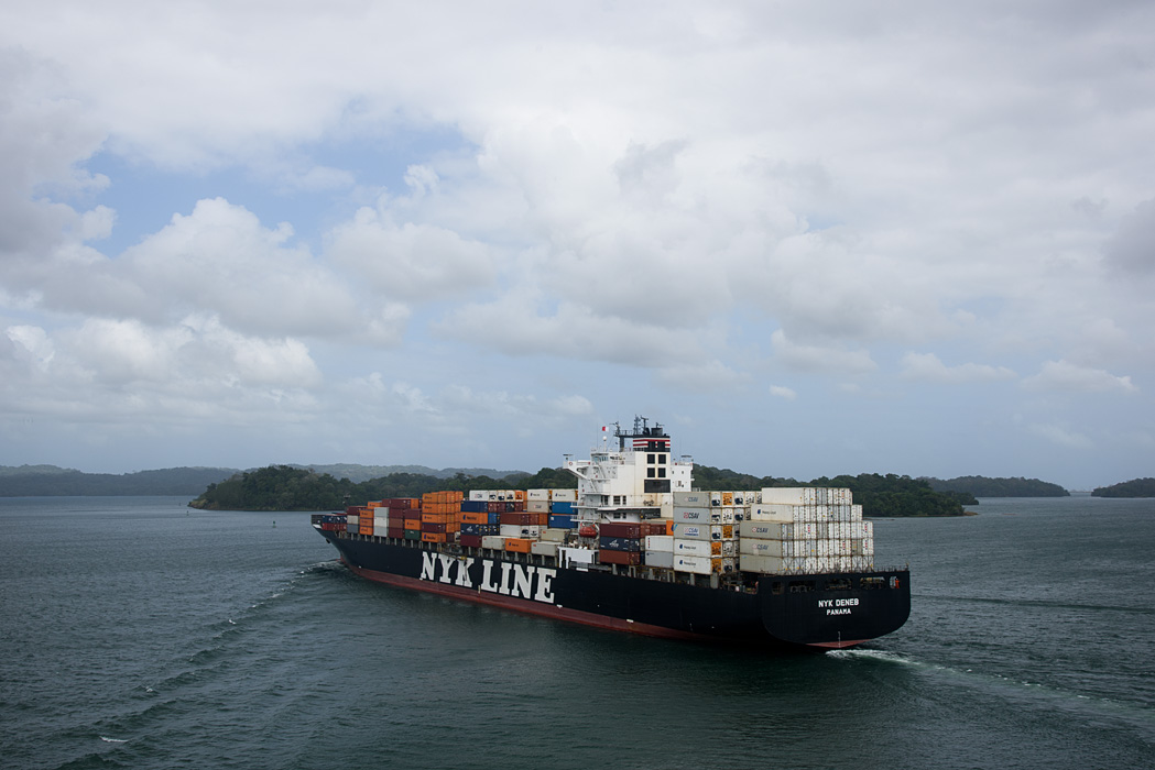
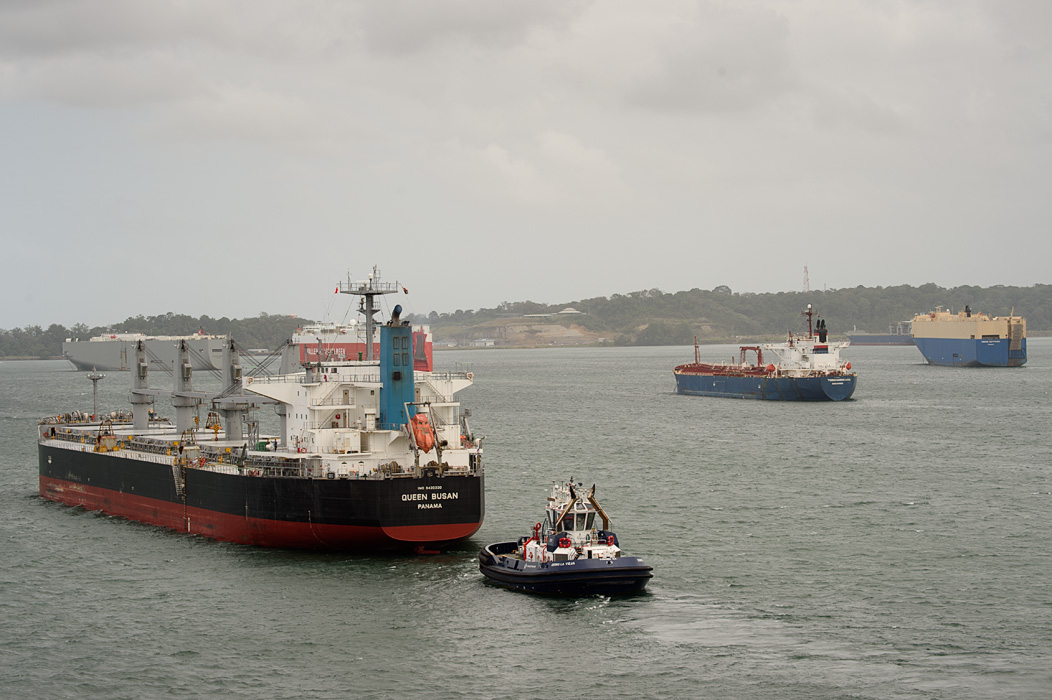
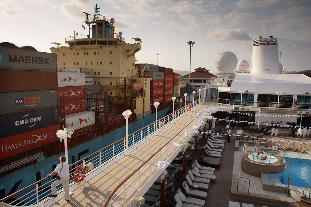
When we entered Gatun Lake we saw many ships that were waiting to use the locks going Eastbound.

The visitor center guests weren't the only ones happy to see us, we noticed the crews of the container ships waving and taking selfies.


Use arrows to scroll through photos of ships in Gatun Lake.
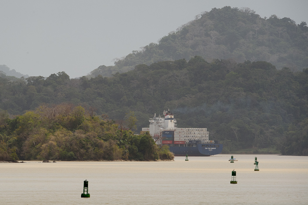
The land on one side of Gatun Lake has been preserved as National Parks. This one is Parque Nacionale Soberania.

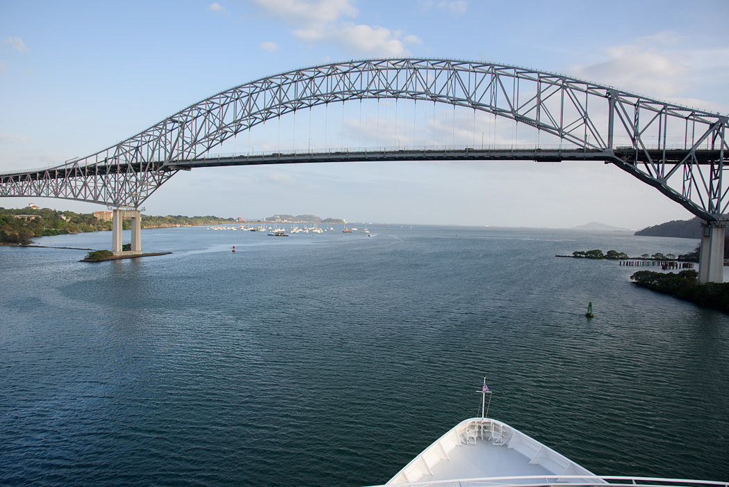
After passing through the lake, we made our way to the Culebra Cut, (which is the spot of the Continental Divide) and the new Centennial Bridge (built to celebrate the 100 years of the Panama Canal in 2004)

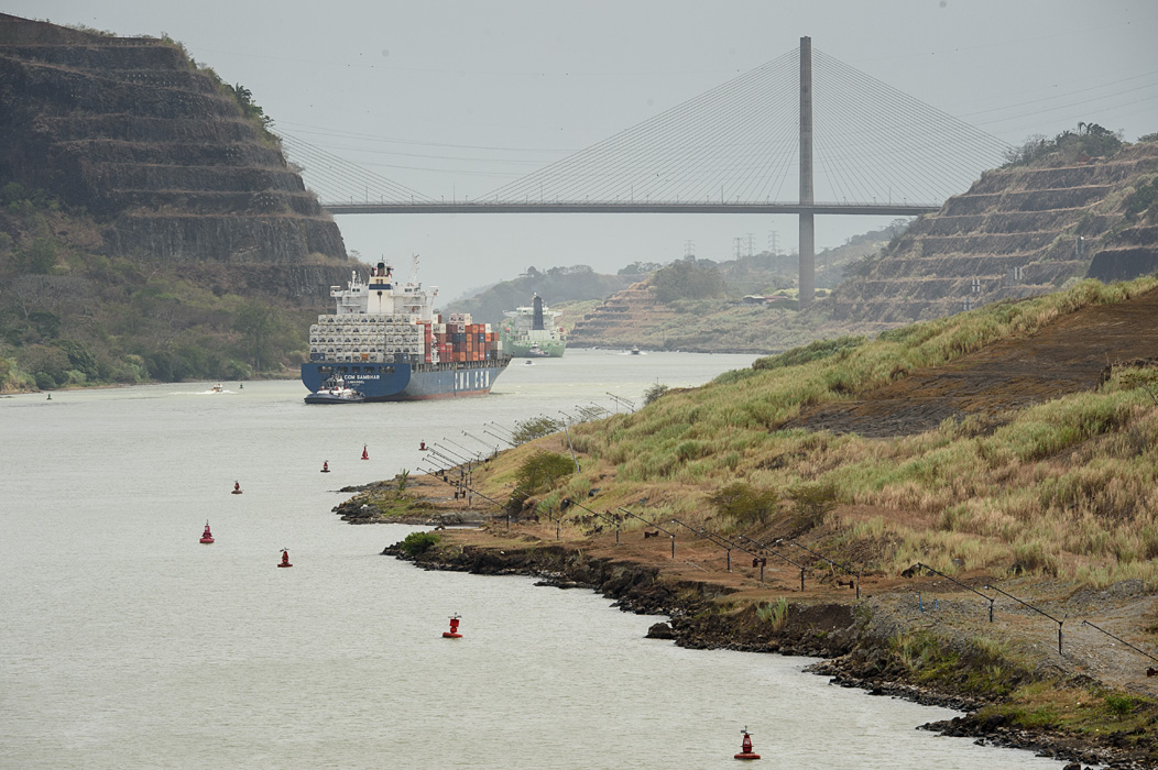
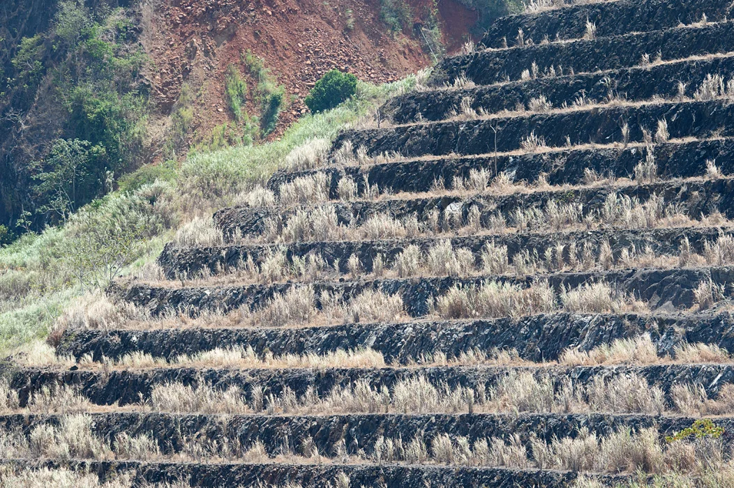
The terraced landscape is designed to hold back the rather unstable banks of the canal in this area. The French failed in their attempt to build a canal in part due to the geology of this area.
After passing the Centennial Bridge, we came upon the Pedro Miguel Locks.
Again, our passage attracted attention of passers by in Panama

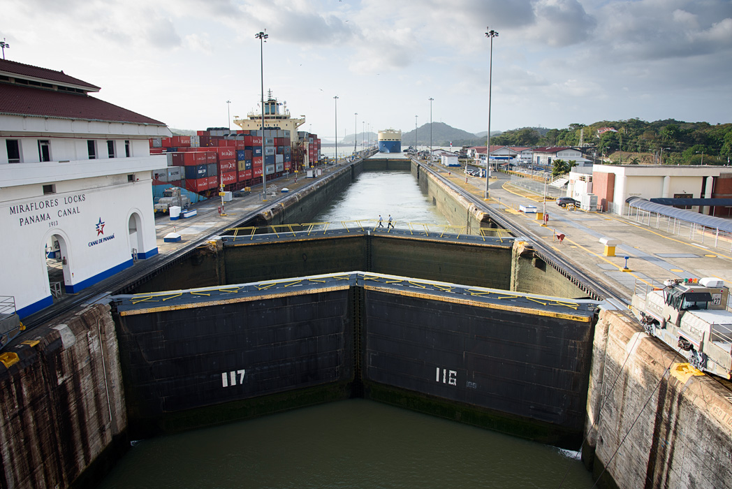
Finally, we came to the Miraflores Locks, and would pass them to enter the Pacific Ocean.
tug at the Miraflores The Panamanian flag dock workers attaching cables frigate bird


As we moved through the locks, we were able to see the modern Panama City in the distance.

The last locks a pelican Azamara passing in the locks loading cranes on the Pacific side


Our last landmark was the Bridge of the Americas on the Pacific side, just outside of Panama City
Bridge of the Americas
The Frank Gehry designed Biodiversity Museum in Fuerte Amador outside Panama City

About 8 hours after we entered the first lock, we had passed through the entire Panama Canal, a trip that can made by rail in 45 minutes or on the good highway in Panama in an hour! But it was a fascinating way to see the heart of a country and experience a unique marine opportunity.

Azamara Journey anchored in Fuerte Amador in the Pacific outside of Panama City after passing through the Panama Canal